The scientist videographer will often have occasion to use a still image or video footage that s/he has not shot. If you plan to publish your video (on the internet or elsewhere), you will need to get permission to use anyone else’s images. The exception is when the images are in the public domain. Where do you find such image collections? Government websites are a good place to start. Many government agencies (in the U.S., for example) are creating collections of images and video that are freely available to the public. In some cases, the images were taken by government employees or were acquired with government funds, automatically placing them in the public domain. In other instances, the agency has compiled scanned images from historical books, maps, and other sources into collections on their websites that can be searched and then downloaded for free.
Below, I list a few of these websites; the list is not exhaustive, but is designed to give you an idea of where to look for images and footage you might need.
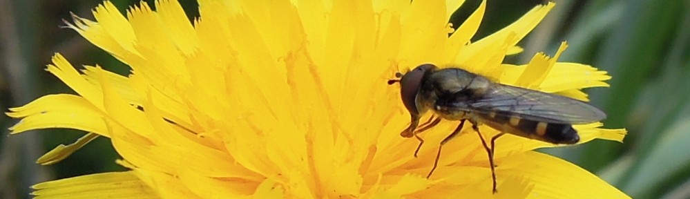
U.S. Department of Agriculture (USDA) has a nice gallery of images, including topics such as animals, plants, field research, lab research, illustrations, and education; you can download images at 72 or 300 dpi. The image at right is of Giant Salvinia (USDA, Peggy Greb).
The National Oceanic and Atmospheric Administration (NOAA) has an extensive collection of images taken in a variety of places around the world by scientists and other employees; high resolution images are available. The photo to the right is of pancake ice  taken by Michael Van Woert (NOAA, NESDIS) in Antarctica (located in the Art in Nature Gallery (Patterns and Textures)).
Related NOAA sites contain more still images, animations, and video. An example is the NGDC Digit al Marine Geology and Geophysics Images collection, which contains, for example, animations of dives to the ocean floor such as the Mariana Trench (click on photo at right to go directly to the animation).
The NOAA Fisheries Service (Northeast Fisheries Science Center) main tains an archive of historical photos related to fisheries in the northeastern U.S. Hundreds of photos are available for download and free use with proper credit. See photo of a basking shark at right (NEFSC, Paul Galtsof). There are also photo galleries of marine mammals, seabirds, invertebrates, sharks, ships, and scenic views.
The National Marine Sanctuaries maintains a media library 
 containing still images and many video clips of coastal areas, waves, reefs, deep sea views, fish, sharks, and invertebrates. The media library is searchable.
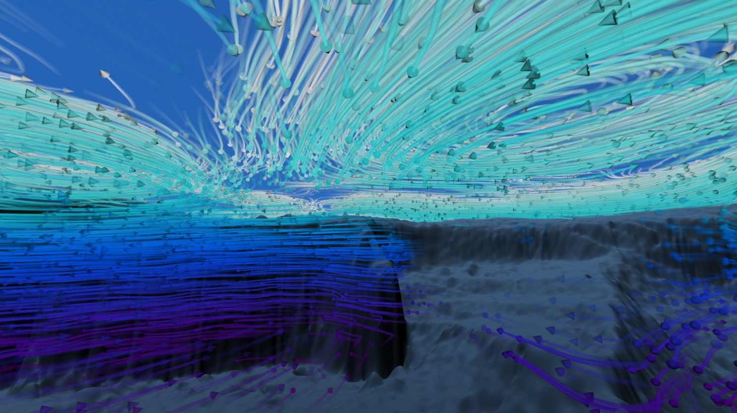
The NASA Goddard Space Visualization Studio is the  premier location for finding photos and especially animations of the earth and space processes. Whether you’re looking for animations of arctic sea ice changes or volcanic eruptions, you’ll find them here. The NASA Earth Observatory contains an extensive set of photos, maps, and animations of the world that are downloadable and free to use. NASA’s Visible Earth contains a massive catalog of images and animations, which are searchable. See a high resolution image of the Sri Lankan coast during the 2004 Asian Tsunami (NASA, VE) below:

If you are looking for images of hazards, land, oceans, atmosphere, life, snow and ice, or human impacts, these NASA sites will likely contain the image or animation you need.
Another site I often visit for historical photos is the Library of Congress (LOC).  Their American Environmental Photographs 1891-1936 collection is a treasure-trove of material. Many of the images in this collection were taken by or of Henry Chandler Cowles (the “father” of American plant ecology); see his photo to the right with students on a botany field trip (note they are all female students!) (LOC, unknown photographer). Interestingly, I can trace my scientific lineage through my graduate adviser and several generations of professors back to Cowles.
The U.S. Geological Survey (USGS) has a digital  photo collection containing many historical and modern images of earthquakes, national parks, and mines. See photo at right of an earthquake at Hawkes Bay, New Zealand (1931) (USGS, unknown photographer). There is also a large collection of historical images taken by pioneer photographers of early USGS expeditions (see stereo photo below of an expedition camp, part of the W.H. Jackson colle
 ction).
These are just a few of the many government sites where you can find media in the public domain. There are some sites that purport to catalog public domain images, but beware. Many of these are commercial sites and contain a mixture of images grabbed from government sites (public domain) and images that may be copyrighted. Try to obtain such media from their original sources, which often offer them at different resolutions and contain all relevant information about the image. If you do use media from secondary sites, be sure the image is really in the public domain and abide by any restrictions listed with the image you wish to use. For the media offered for download on government sites, the only restriction is that you cannot copyright any public domain image, and it’s always appropriate to credit the source and the photographer, if their name is given.
 beyond the last planet in its orbit..a force field that deflects these cosmic rays. But these solar winds can be dangerous, too. Especially during outbursts called coronal mass ejections. Want a vision of Earth gone wrong? Just look at what solar storms do to our sister planet, Venus.”


